
Your phone’s GPS works at 38,000 feet.
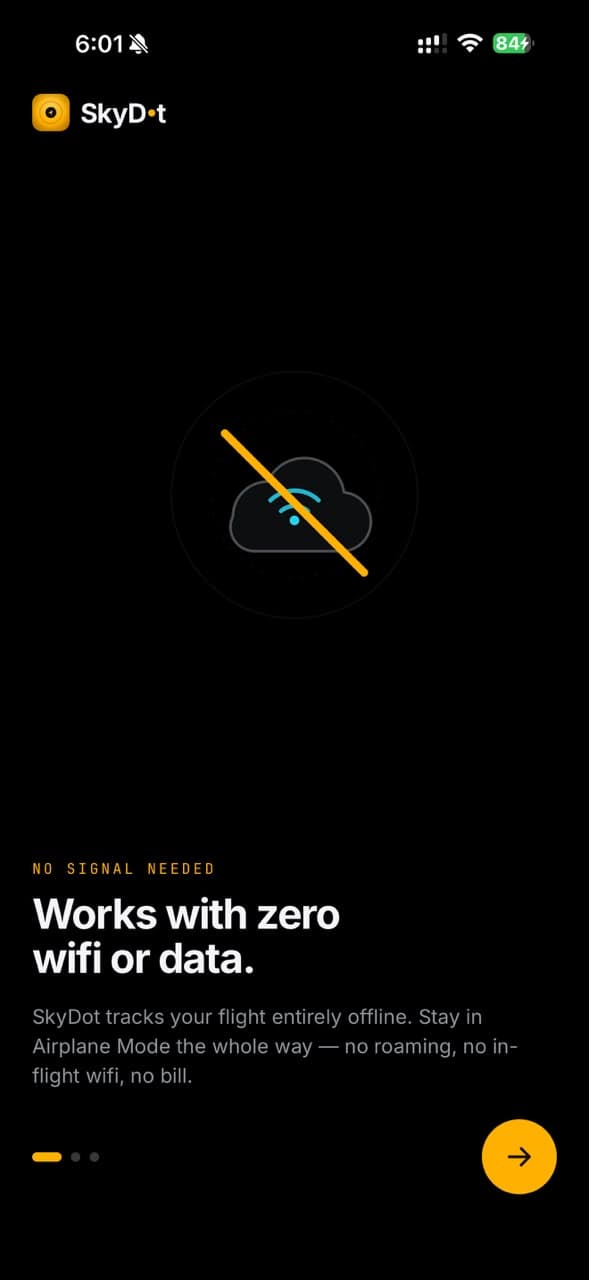
No wifi required. SkyDot tracks your own flight from the window seat, offline, with no data, no roaming and no inflight wifi.


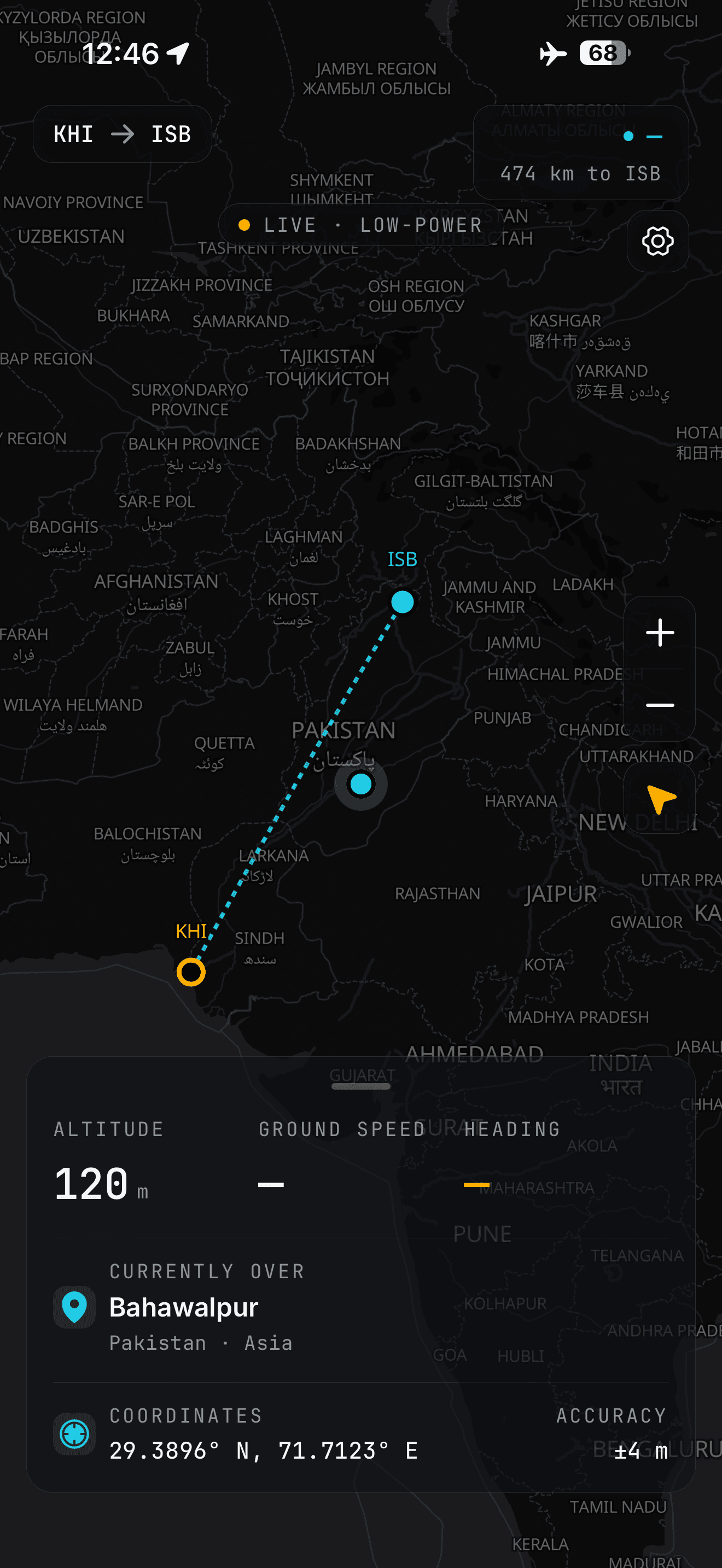
Airplane Mode turns off the radio. Not the satellites.
Most flight apps go dark the moment you take off, because they are fetching data over a cellular network that is not there at cruise altitude.
GPS is not a network. It is satellite positioning: your phone listens to satellites overhead and works out where it is, sending nothing back. Airplane Mode switches off the transmitting radios. Location can stay on.
To be plain about it: SkyDot tracks your flight, from your seat. It is not a plane-spotting app for watching other aircraft overhead.
Offline flight tracking, built for the window seat.
Everything below shipped in 1.0.1 and works with the radios off.
The map keeps moving over the middle of an ocean.
Your position comes from GPS satellites, not the cell network. Download whole continents at the gate and the aircraft keeps moving along its route all the way down.
Look out the window and know what you’re looking at.
It names the country, the coastline and the city below as you pass them, entirely on the device.
- Gazetteer
- 69,305 towns
- Airports
- 4,045
Your history builds itself while you fly.
Every qualifying flight is saved with no tapping: distance, duration, top speed, max altitude, countries crossed.
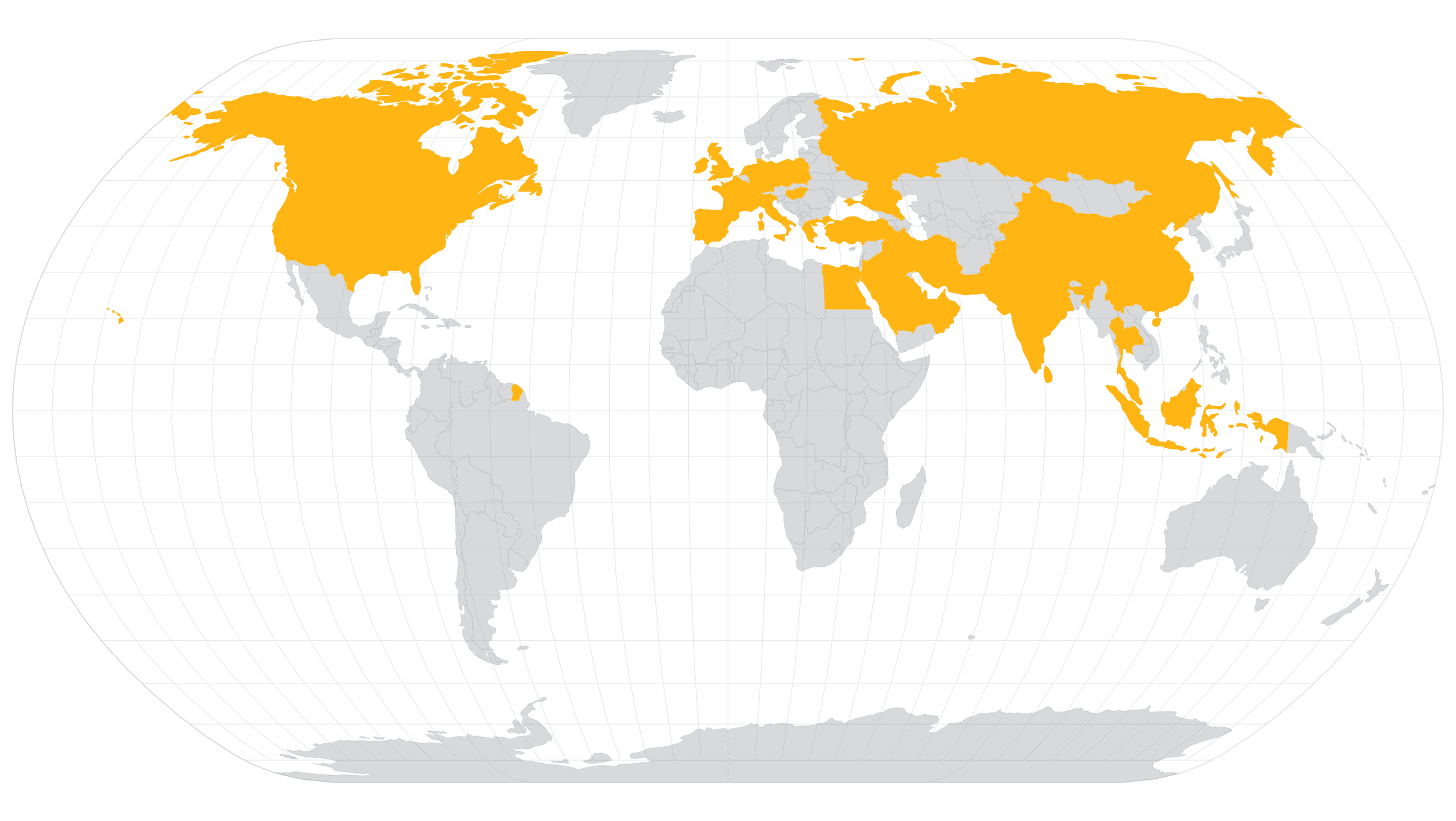
Countries fill in amber as you fly them.
37/ 195 FLOWN OVER
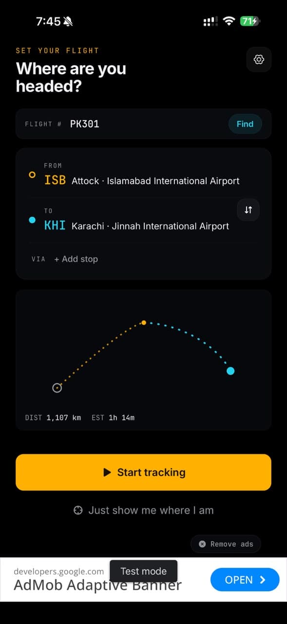
Type PK301. The route fills itself in.
Origin and destination autofill, connecting legs and via-stops included.
Time to landing, on the lock screen.
A live notification that updates without you having to ask a flight attendant.
Pick your seat with intent.
Sunrise and sunset as seen from altitude, corrected for how high you are, plus which side to look out of.
Gate to gate, with no wifi and no data.
Your flying year, on one shareable card.
Every flight you tracked, added up and laid out to share: the world map you filled in, your top route, your longest flight, hours in the air.
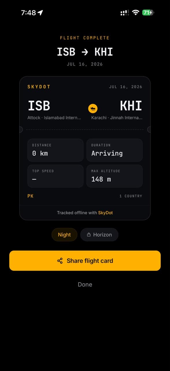
When you land, SkyDot hands you that flight on a boarding-pass card in either of two templates, watermarked Tracked offline with SkyDot.
- Flights
- 24
- Distance
- 61,480 km
- Top route
- ISB → DXB
- Longest
- 11h 40m
Free to fly. Premium to go further.
Free
Ad-supported- Offline GPS flight tracking
- What you’re flying over, live
- Your first 5 flights saved — a lifetime total, not a daily one
- Watch an ad for 1 more save, up to 10 — 15 flights in all
- Flights past that are kept, and unlock when you upgrade
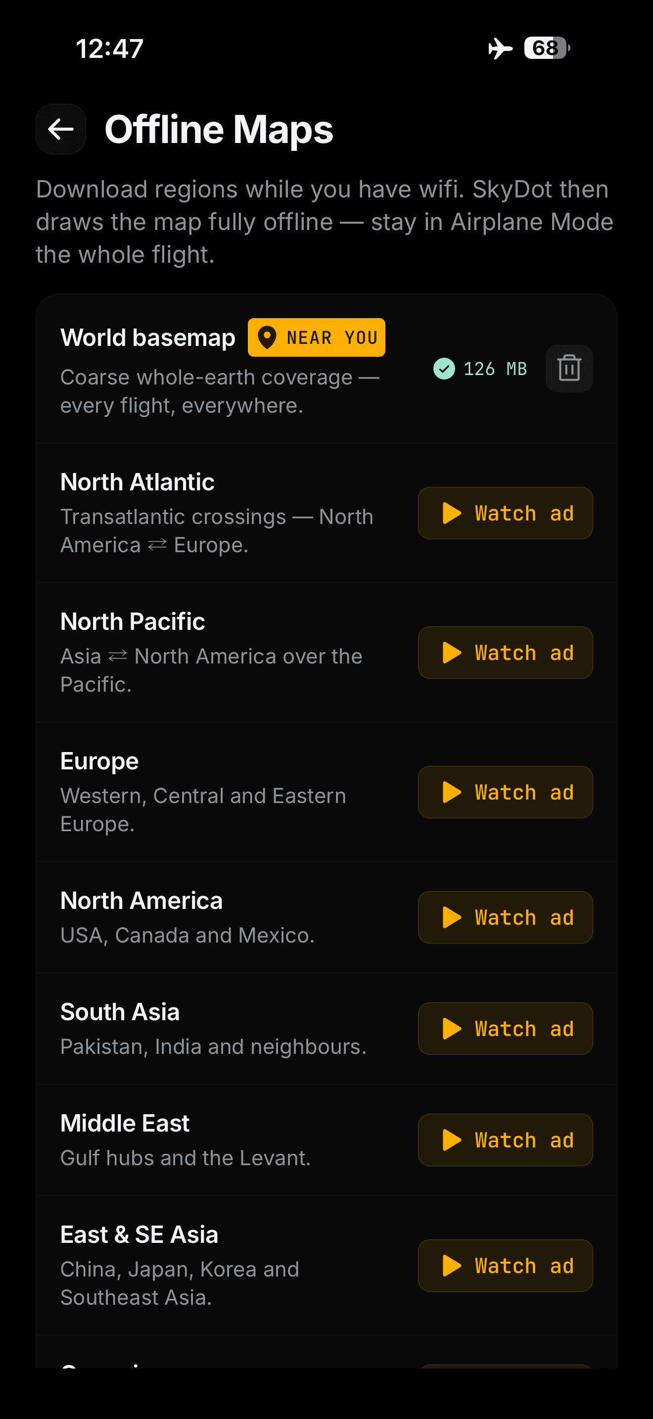
- The whole-world offline map, downloaded automatically on Wi-Fi
- Detailed regional map packs: unlock one region per short ad
- No account required
Premium
Lifetime · Annual · Monthly- Unlimited flight saves
- No ads
- Full travel log and world map
- All detailed regional map packs, no ads
- Cloud backup of your flight log (signed in)
- All share card styles
- Lifetime is one payment, nothing renews
- Monthly and Annual start with a 7-day free trial
Lifetime is the one most people want: pay once, keep it. Full pricing, the free-tier limits and the store FAQ are on the pricing page.
Questions about tracking a flight offline.
Still stuck? Support answers within two working days.
Does it really work in Airplane Mode?
Yes. Airplane Mode switches off the cellular and wifi radios. GPS is a receiver: it listens to satellites and transmits nothing, so it keeps working. Turn Airplane Mode on, leave Location on, and SkyDot tracks the whole flight.
Do I need wifi or an inflight data plan?
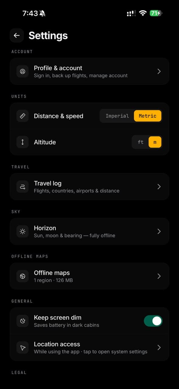
No. Download the maps you want and set your route while you still have signal on the ground. Everything after that runs on your device.
Will it drain my battery?
GPS at cruise is modest, because the receiver is doing the work and the radios are off. A long-haul flight on a full charge is comfortable, and you can close the app and reopen it later without losing the log.
Does it show other planes around me?
No, by design. SkyDot tracks your flight from your seat. It is not a plane-spotting app for watching other aircraft overhead. That needs a live data feed, which is exactly the thing that stops working at 38,000 feet.
How many flights can I save for free?
Your first 5, and that is a lifetime total rather than a daily allowance. From the travel log you can watch a rewarded ad to unlock 1 more save, up to 2 ads a day and 10 bonus saves in all, so the free tier tops out at 15 flights. Nothing is lost past that: SkyDot keeps the flights and they unlock the moment you upgrade. Tracking itself is never limited, and the world basemap works offline everywhere at no cost.
Do I need an account?
No. Tracking works with no account at all. Google or Apple sign-in is optional, and only there to carry your travel log between devices.
Take SkyDot on your next flight.
Free to download. No account needed to start tracking.